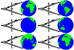
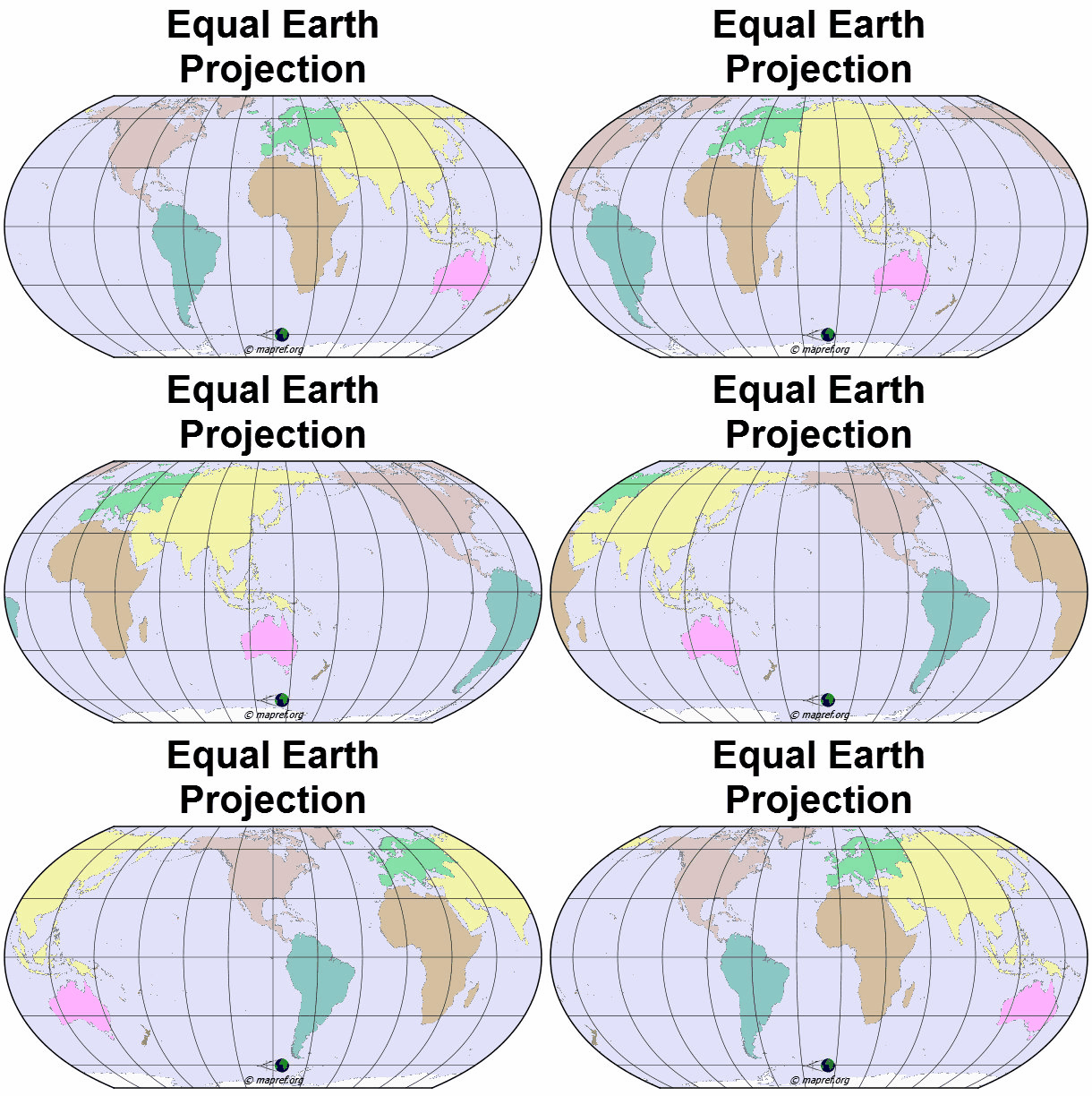
Map Projections are cartographic methods to map the surface of a mathematical earth model to the map plane. The theory of map projections proves mathematically that this mapping is not possible without distortions. Many methodes are categorized upon their distortion behaviour. And some also have extend limits. This leads to a large amount of map projection. For different map scopes, you need different map projections. Choosing a map projection needs a good selection process.
The region (size, shape and orientation) of your desired map content has an important influence for a capable projection method.
In the selection guide, you start with choosing the area that will be covered by your map:
The region (size, shape and orientation) of your desired map content has an important influence for a capable projection method.
In the selection guide, you start with choosing the area that will be covered by your map:
- World
- Hemisphere
- Continent, Ocean or smaller region
Select your Map Projection by Regional Use – Interactive
remark: this tool does not cover all known map projections
theory of map projections
latest version: 11.09.2026
last revised: 16.09.2026
first published: 28.09.2024


Add a Comment