
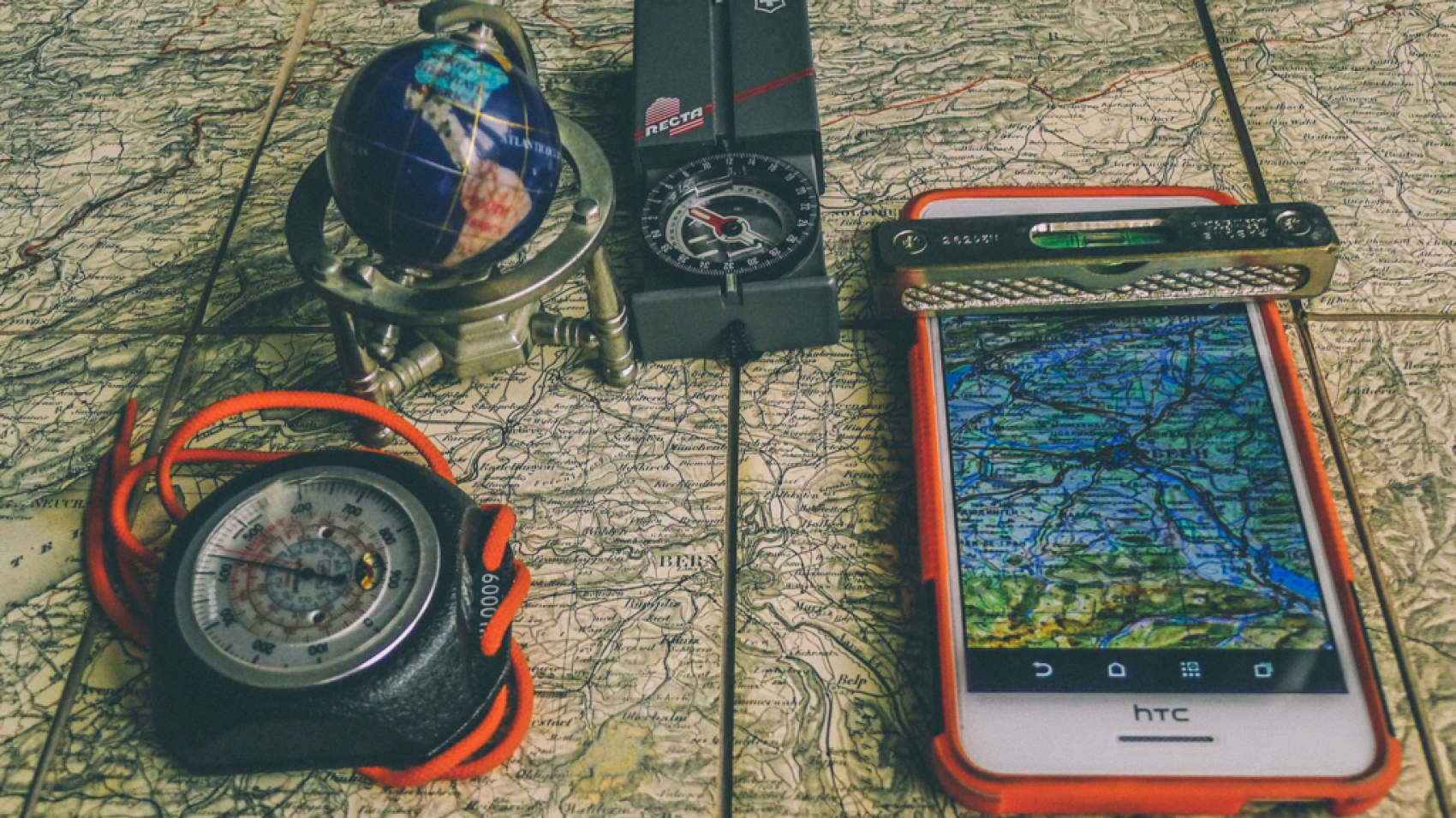
Many of us are using maps, and few of us are making them or acquire data or develop tools and solutions for producing, publishing or sharing them.
For most of us, it is a black box what all has to be done and considered until a map find its user. The user reads the map, but does he find the information he needs or is it possible to read the map correctly?
There are many steps to produce a map. In the following, we give some overview to the main steps for making maps and focus on special issues to be considered for producing maps.
Keywords
Understanding maps, map making, map reading, map visualization, map symbols, generalization, spatial data …
more about maps
What are Maps?
We often use maps, but what do we talk about?
Dr. Stefan A. Voser.
Some map categorizations: topographic map, situation map, thematic map, printed map, digital map, static map, dynamic map, map scale, map generalization, background map…
What do we use maps for?
Another aspect of looking on maps is for what we use maps:
- documentation (e.g. topography, property, geology, nature conservation, legal zones …)
- orientation and navigation (e.g. hiking, travelling, reaching a location…)
- professional applications (e.g. planning, construction, conserving, archaeology, controlling…)
- leisure (e.g. tourism, leisure, sports, cultural …)
- exploring
- …
What does a map contain?
We see, there is a wide range of applications and purposes. They need different content and representation. But what can be said that all maps contain:
- They are a visual spatial presentation
- They cover a specific location or area
- They present a specific topic
- They document at situation of the past, the present or the future
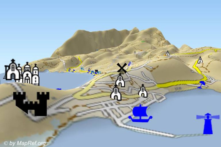
The Mapping Cycle
Maybe you are a map lover or you just a map user. How did you lern to use maps? And why do you use maps? Generally you use maps to lern from them, getting information about a special place or area. Before you can use and interpret maps, there are many steps to be done to get the map. The following graphic shows the Mapping Cycle with the main steps of making and using maps.
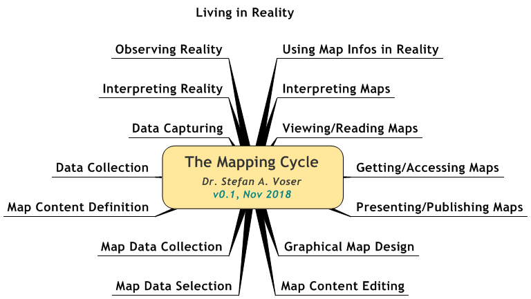
The Mapping Cycle
For Understanding Maps, it is good to know about these steps.
The Spatial Domain
Maps represent a spatial area. And they describe a geografical situation. This means the position and the geometric size, shape and orientation on the situation is presented.
Topographic maps are the most precise map to present the geometric situation. The objects are surveyed in its position, shape and size based on the defined object catalogue. Due to the map scale a generalization is required that the map sysmbols with its shape and size can be applied to make readable maps.
last update: 31.04.21
published: 21.11.18
[to be continued]
more about maps


Add a Comment